Field notes: the pole that got replaced and kept its old GIS ID
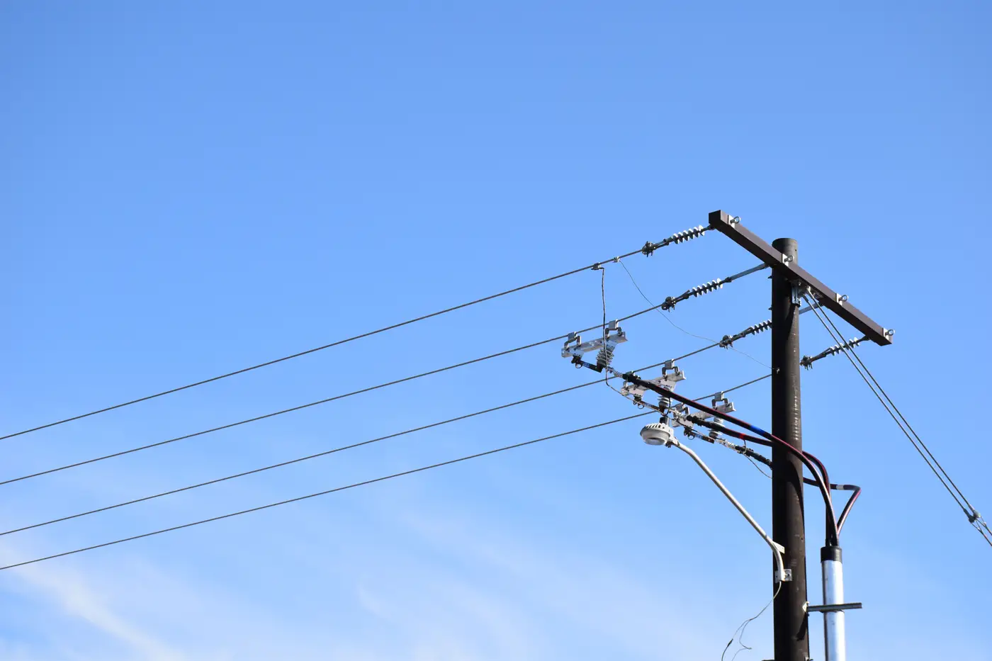
A line crew in our territory swapped out a pole last spring after a woodpecker colony turned the butt into something closer to a sponge. Routine change-out. New pole went in a few feet from the old hole, taller, Class 3 instead of Class 4, treated with a different preservative than whatever they used back when Reagan was in office. The crew stenciled the same ID number on it that was on the old pole.
That part isn't a mistake. Keeping the ID through a change-out is standard practice in a lot of shops, mine included. The ID tracks the location and the circuit position, not the physical stick of wood or steel standing there. Re-numbering every pole every time one gets swapped would be its own kind of chaos, a different ID every few years for the same spot on the same feeder, joint-use records pointing at numbers that no longer mean anything. So the convention makes sense. The problem is what it quietly permits.
What it permits is a GIS record that still says "40 ft, Class 4, installed 2003" for a pole that's 45 feet, Class 3, and six months old. Nothing about the ID staying put forced anyone to update the attributes. Somewhere between the crew closing out the work order and whoever owns pole data entry getting to it, the attribute edit either happened or it didn't. In a shop running lean, with storm season eating the backlog every year, it often didn't. The ID is current. Everything attached to it is a year, three years, a decade stale.
Most of the time this gap surfaces sideways, not from anyone going looking for it. Someone's doing loading analysis for a new attachment request, pulls the pole class off the register, and a field crew calls back confused because the pole in front of them doesn't match what's on the ticket. Or a joint-use audit from a telecom partner flags a height discrepancy and your first instinct is to assume their survey is wrong, because your register has been right for years, except this one pole changed and nobody logged it.
The thing I keep coming back to is that the ID persisting is exactly what makes this invisible in a normal query. If the ID had changed, somebody would have noticed a new asset appear and an old one disappear, and the attribute review would have happened as part of that. Because the ID doesn't change, the record looks untouched. No flag, no exception report, nothing in a standard GIS audit that says "this one's different now." The only way to catch it is to compare what's actually standing in the field against what the register claims, pole by pole, on some kind of cadence, rather than trusting that a stable ID means a stable asset.
That's the part that's hard to do by sending crews out with clipboards every year. It's slow, it's expensive, and it tends to only happen after something's already gone wrong. Running the comparison off imagery instead, pulling detected pole locations and flagging where field reality and the register have drifted apart, is the only way I've found to catch this kind of silent change-out at any real scale. If that's a gap you're staring at in your own register, that's the specific problem Grid Asset Inventory is built to close.
I don't have a tidy fix for the stenciling convention itself. Keeping the ID through a change-out is still the right call for circuit continuity and joint-use tracking. What needs to change is treating "ID unchanged" as proof that nothing about the asset moved. It's proof only that someone decided, correctly, not to renumber a location. Everything else about that pole is a separate question, and it's worth asking it more often than the backlog usually allows.
If you've got poles out there wearing old IDs over new hardware, it might be worth seeing what your imagery already knows about them.