Blog
- 2026-11-16
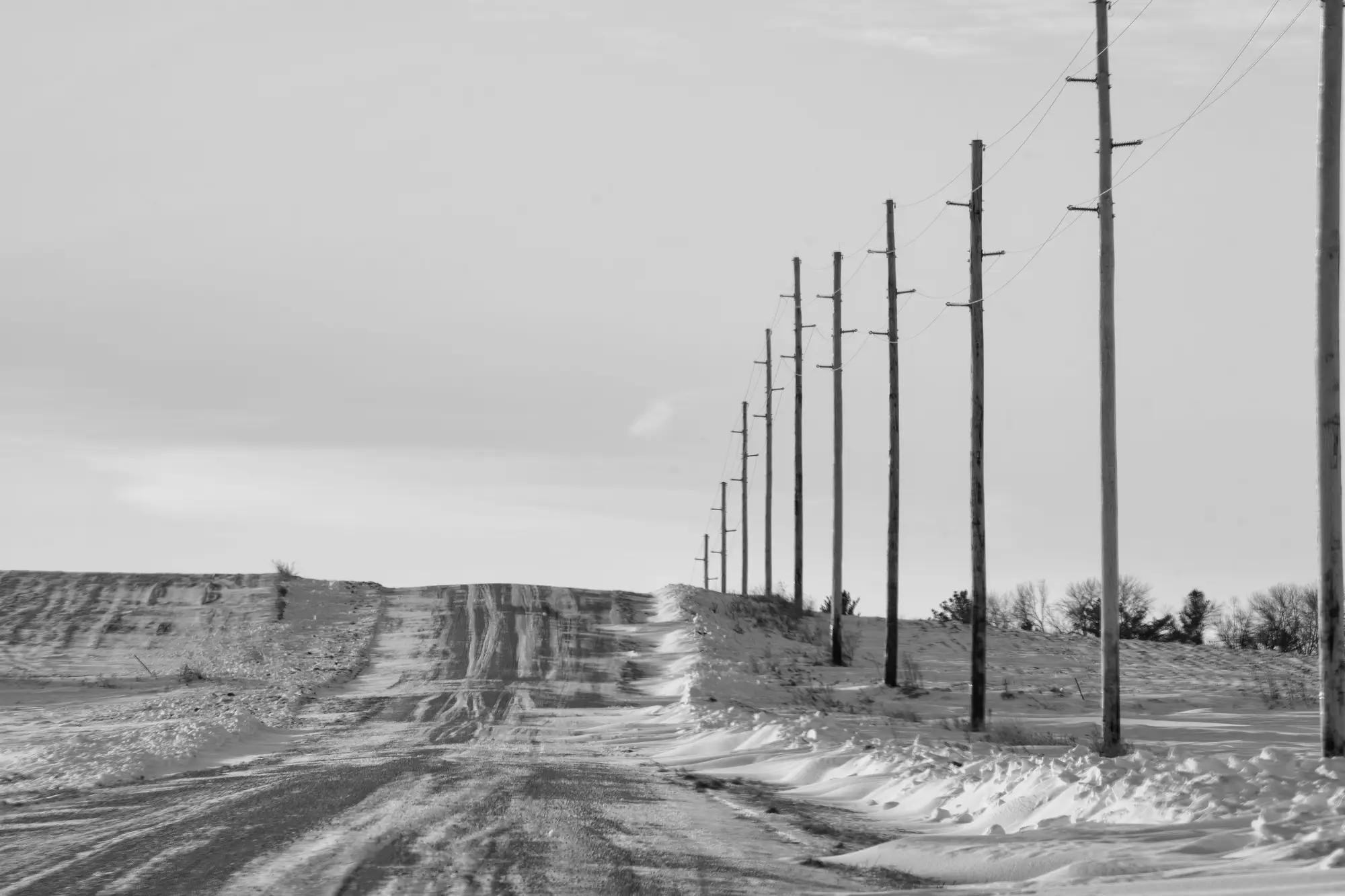 Field notes: the winter we flew three weeks before leaf-off, and regretted it
A GIS crew's scheduling miscalculation shows why leaf-off timing matters for aerial pole detection, and what vegetation cover costs a register reconciliation.
- 2026-11-16
 How to prioritize field verification after an annual aerial pole reconciliation
A triage method for GIS and asset data teams turning a pole reconciliation discrepancy list into a field crew work order ranked by risk.
- 2026-11-09
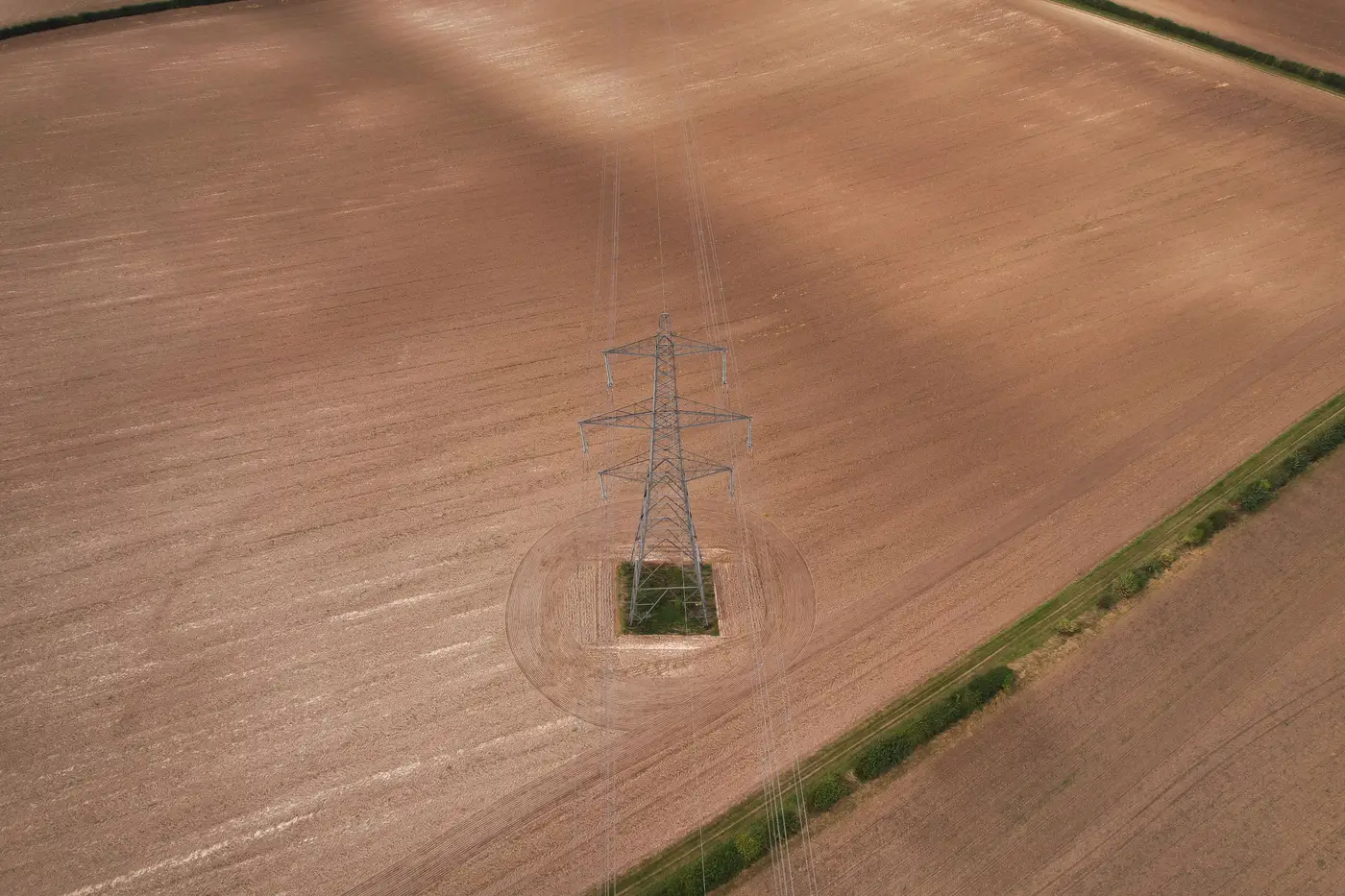 Setting a match tolerance radius for drone-to-GIS pole reconciliation
How to pick a spatial join tolerance radius for matching drone-detected poles to GIS register points, and how to balance false matches against missed poles.
- 2026-11-09What conflation means in GIS, and how pole detections get matched to your register
A plain explanation of GIS conflation and the workflow that matches aerial pole detections to existing asset register records.
- 2026-11-02Field notes: the pole that got replaced and kept its old GIS ID
A crew swaps a rotted pole for a taller Class 3. The ID stays the same. The GIS record doesn't catch up. Here's why that gap is normal, and how it hides.
- 2026-11-02Guy wire vs. anchor: telling them apart in aerial imagery
How to read guy wires, anchors, and down guys in sub-10cm aerial imagery, and why pole hardware attribute coding so often drifts from what's in the field.
- 2026-10-26
 How to reconcile a work order closeout against post-construction imagery
A step-by-step way to check closed work orders against post-construction aerial imagery before the as-built drifts from the GIS register.
- 2026-10-26What is a joint use audit, and why attachment counts matter for your pole register
A joint use audit checks who's on each pole against your records, and why that attachment count drives billing and make-ready decisions.
- 2026-10-19Field notes: the flight that found structures the register never logged
Why aerial passes keep turning up poles and spans the GIS register has no row for, and what that drift costs a utility.
- 2026-10-19Dead-end pole vs. tangent pole: reading structure type off aerial imagery
How to read dead-end versus tangent structure type from sub-10cm aerial imagery, and why that GIS attribute drifts between field audits.
- 2026-10-14Measuring conductor sag and clearance from aerial imagery
What it takes to measure conductor sag and clearance from aerial imagery, and why reconciling your GIS register comes before any clearance survey.
- 2026-10-14How to spot a leaning pole in aerial imagery
A field guide to reading pole lean, rake, and batter from drone and aerial imagery, and why a visible lean is only half the diagnosis.
- 2026-10-13Single-pole vs H-frame: telling structure types apart in aerial imagery
How to distinguish single-pole from H-frame structures in sub-10cm aerial imagery, and why registers drift on this field between flights.
- 2026-10-13What is attribute completeness in a utility asset register?
A plain-language breakdown of attribute completeness in a utility GIS asset register, why fields go blank, and how to check for it.
- 2026-10-07Distribution pole or transmission tower: how your register should classify each
Why structure type, voltage class, and asset class drift apart in GIS registers, and how to tell a distribution pole from a transmission tower in the data.
- 2026-10-07Orphan pole vs ghost pole: what the difference means for a GIS register
Orphan poles and ghost poles break a GIS register in opposite directions. Here's how to tell them apart and why the distinction matters for reconciliation.
- 2026-10-07Why pole counts drift between your GIS register and the field
A look at the everyday causes of pole count drift between a utility's GIS register and what's standing in the field, and why it keeps happening.
- 2026-10-07Wood pole vs composite pole: how to tell them apart in aerial imagery
Visual cues for distinguishing wood from composite poles in sub-10cm aerial imagery, and where material classification from the air breaks down.