Why pole counts drift between your GIS register and the field
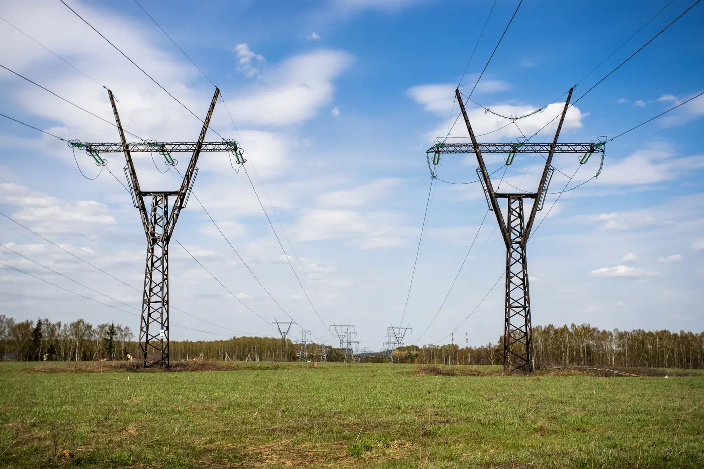
If you've ever run a pole count out of your GIS and had it come back different from what the last patrol or storm crew reported, you already know the register and the field are two different things that happen to share a database. They start in sync at go-live or at the last full audit. Then real life happens to one of them and not the other.
Where the gap comes from
Most drift comes from a pile of small, routine events that each skip the register by a day, a week, or permanently.
New construction that gets built before it gets drawn. A line extension or a subdivision tie-in goes energized the day the crew finishes, while the as-built can sit for months waiting on redlines and a slot in the GIS edit queue. Every pole set in that window is standing in the field and missing from your register.
Replacements logged as the same pole. A crew swaps a pole for decay or a vehicle strike, closes the work order against the existing pole ID, and moves on. The register still shows one pole at that location, correctly, but the attributes, the install date, the material, don't match what's standing there now. Count-wise it looks fine. Attribute-wise it's wrong, and that's a different kind of drift than a missing or extra pole, but it shows up in the same reconciliation.
Retirements that never get closed out. A pole gets abandoned in place after a reroute or a joint-use rearrangement, and nobody circles back to retire the record. The register keeps carrying a pole the field doesn't have anymore, or has as a stub nobody services.
Storm restoration. Mutual aid crews reset poles fast, sometimes shifting a span, sometimes consolidating two poles into one during emergency repair. Restoration priority is getting power back on, not updating GIS, and the paperwork trail for a declared event can take a season to work through, if it ever gets fully reconciled against the register rather than just closed as "restored."
Third-party and joint-use attachments. A telecom or cable attacher sets a pole under a joint-use agreement, or a municipality relocates a pole for a road project and bills it to someone else's crew. The physical count changes. Whether that change lands in your register depends entirely on whether that third party's as-built made it back to your mapping group, which isn't always a given.
Digitization and legacy conversion error. Older registers built from paper staking sheets or early GPS surveys carry positional error and the occasional duplicate or dropped feature from the original conversion. That error doesn't introduce itself twice. It just sits there until someone checks it against the ground.
Why a periodic field check doesn't fix the drift, it just resets it
A manual audit, walking circuits with a pole count sheet, catches what's wrong on the day you walk it. The moment you file the results, new construction, replacements, and storm work start drifting the register away from reality again. For most utilities that's an annual or multi-year cycle, so the register spends most of its life somewhere between "last confirmed" and "who knows."
Reconciling against a consistent, repeatable record of what the imagery shows, on whatever cadence you fly, gives a GIS tech or asset data manager a list of poles the register says should be there to check against poles the imagery confirms, and lets them work the differences down instead of re-walking everything from scratch.
That's the comparison Grid Asset Inventory produces: pole, tower, and conductor detections from sub-10cm aerial or drone imagery, set up to check against your existing register rather than replace it. If pole count drift is eating your field crews' time, it's worth seeing what that comparison looks like for your service territory.