How to spot a leaning pole in aerial imagery
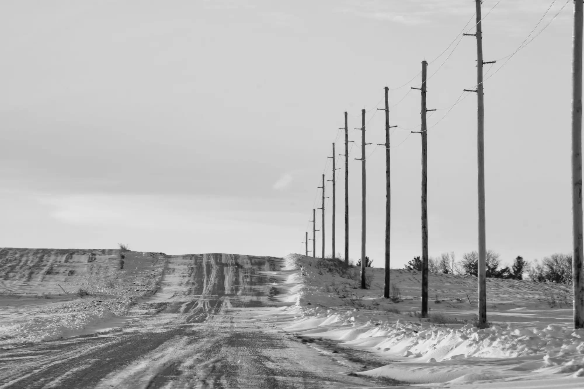
A pole doesn't have to be on the ground to be a problem. Long before a storm takes one down, it's usually been leaning for months, sometimes years, drifting a few degrees at a time while nobody's eyes were on it. Catching that lean in aerial imagery, before a lineman has to catch it in person, is one of the more useful things sub-10cm imagery is good for.
Here's what to look for, and where the method falls apart if you rely on it alone.
What lean looks like from directly overhead
In a straight nadir (looking-straight-down) image, a healthy pole reads as a tight circle or dot, roughly the same diameter in every direction, sitting dead center over its own base shadow at local noon. A leaning pole throws that symmetry off. The crown of the pole, the crossarm, and the conductors it carries will all shift to one side of the base point. On a pole with a visible lean of even 5-10 degrees, you'll see the top of the pole and its base no longer line up on the same pixel column, and the shadow (if the sun angle cooperates) will stretch longer on the downhill side.
The catch with nadir-only imagery is that a lean toward or away from the flight line can hide almost completely, because you're looking down the axis of the tilt rather than across it. A pole can be leaning 15 degrees toward the camera and still look like a dot from straight above. This is the single biggest reason nadir-only capture under-reports lean in a register reconciliation.
Reading lean in oblique imagery
Oblique capture, where the camera is angled rather than pointed straight down, is what actually exposes lean reliably. From an oblique angle, the pole reads as a line rather than a point, and a leaning pole shows as a line that isn't vertical relative to the horizon or to its neighboring poles in the same frame. Compare the batter (the angle off vertical) against the two or three poles on either side of it in the same span. Poles in a straight-line section of circuit should all carry roughly the same rake, since they're usually all compensating for the same soil or grade. One pole that's out of step with its neighbors, leaning a different direction or a visibly steeper angle, is the one worth a closer look.
Guyed poles add a wrinkle: the guy wire itself can appear to run at an angle that looks like lean if you're not careful to separate the wire from the pole shaft. Trace the pole's own centerline from base to top before calling it.
Lean on its own isn't a condition call
A pole that reads as leaning in imagery might be original construction, not decay. Plenty of poles get set with a deliberate rake to counter prevailing wind load or to balance a dead-end tension, and that rake has been there since the day the crew tamped it in. A register reconciliation is hunting for two specific things: lean that doesn't match what your GIS record says should be there, and lean that has visibly changed on the same pole between two flights.
That's the part an imagery detection pass can hand you cleanly: a list of pole locations and their detected position, run against whatever the register claims is at that coordinate, so a GIS or asset data manager can see where field reality and the record have pulled apart without putting a crew in a truck first. Grid Asset Inventory builds that list from sub-10cm drone or aerial imagery on whatever flight cadence you're already running, so pole, tower, and conductor positions from the latest pass sit next to the register and the gaps surface themselves.
If your register and your last flight haven't been checked against each other in a while, that's worth a look before the next storm season does it for you.