Measuring conductor sag and clearance from aerial imagery
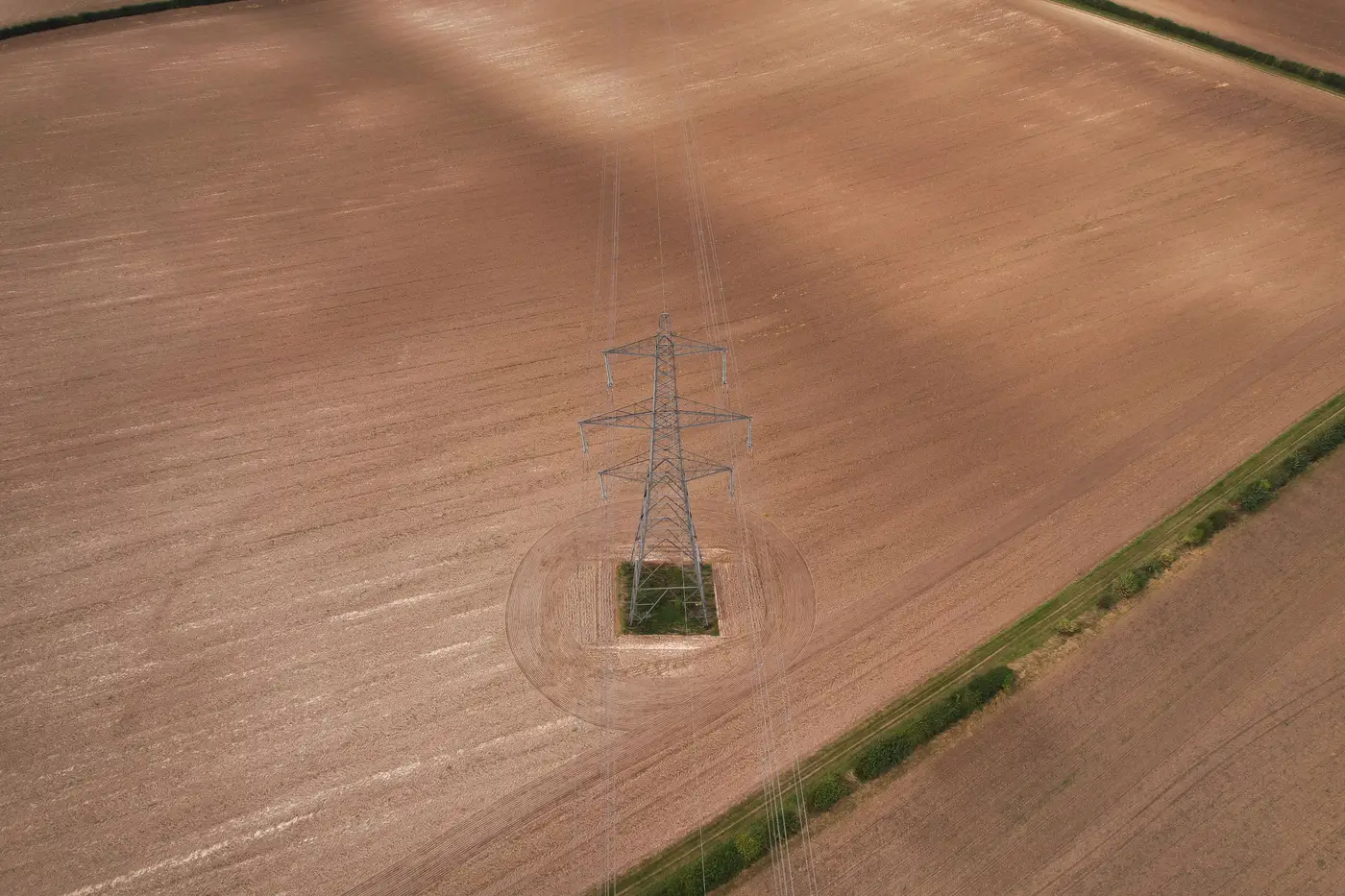
If you manage a GIS asset register for a utility, "sag and clearance" is one of those phrases that gets used loosely. Vegetation management teams want to know if a span is sagging into a tree line. Engineering wants ground clearance numbers for load cases. GIS wants to know if the conductor route in the register still matches what's strung in the field. Those are three different questions, and aerial imagery answers them in three different ways.
What it takes to measure sag
Sag is a vertical distance between a conductor and a reference, usually the ground, sometimes a structure or another line. To measure it with any engineering confidence you need 3D data, not a photo. That means:
- LiDAR (drone-mounted or crewed aircraft) returns a dense point cloud. Software fits a catenary curve to the conductor returns and calculates sag at any point along the span, then checks it against ground or vegetation points below.
- Photogrammetric stereo pairs, if your overlap and GSD are tight enough, can reconstruct a 3D model of the span and do roughly the same thing, with more processing and more sensitivity to wind sway between exposures.
- Thermal or visual-only passes can tell you a line is there and roughly where, but a single RGB frame has no depth information. You can see a conductor sagging in a photo the way you can see a hammock sagging, but you can't put a number on it without triangulating from multiple angles or fusing in elevation data.
So if the deliverable you need is a clearance number in feet or meters for a vegetation encroachment report or an engineering load study, you're in LiDAR or survey-grade photogrammetry territory, flown and processed specifically for that purpose, usually by a specialist contractor who does nothing else.
Where plain RGB imagery earns its keep instead
Most GIS teams run into a different problem first. Before you can analyze clearance on a span, you need to know the span exists where your register says it exists. A conductor run gets rebuilt after a storm, a pole gets replaced two spans over from where the original was, a tap gets added that never made it back into the GIS edit. None of that shows up until someone notices the register and the aerial pass disagree.
This is a detection problem, not a measurement problem, and it's where sub-10cm RGB imagery from a standard drone or fixed-wing pass does the job without needing LiDAR. At that ground sample distance you can pick out individual poles, towers and conductor spans well enough to compare them against register geometry: is there a structure here that isn't in the GIS, is there a conductor run where the register shows none, did a pole that used to carry three circuits get swapped for one carrying two. That comparison is what tells a GIS manager where the register has drifted from reality, which is usually the first thing to fix before any clearance survey is worth commissioning on top of it.
A practical order of operations
For a utility running an annual flight program, the sequence that saves field time looks like this:
- Fly the corridor at sub-10cm GSD, RGB, on whatever cadence the utility already uses.
- Run the imagery against the GIS asset register to flag poles, towers and conductors that don't match what the records show, additions, removals, relocations.
- Send the clearance-sensitive spans, the ones flagged by vegetation encroachment or known problem areas, to a LiDAR pass or ground survey for the actual sag and clearance numbers.
Skipping step two is how utilities end up paying for a full clearance survey on a corridor where half the structure data was already stale going in. Grid Asset Inventory is built for that step: it takes the drone or aerial pass you're already flying and turns it into a list of what the imagery shows against what the register says, poles, towers and conductors, so a crew isn't walking miles of line just to confirm a map.
If your conductor runs and your GIS haven't agreed with each other in a while, that reconciliation is worth doing before the next clearance survey gets scheduled.