Wood pole vs composite pole: how to tell them apart in aerial imagery
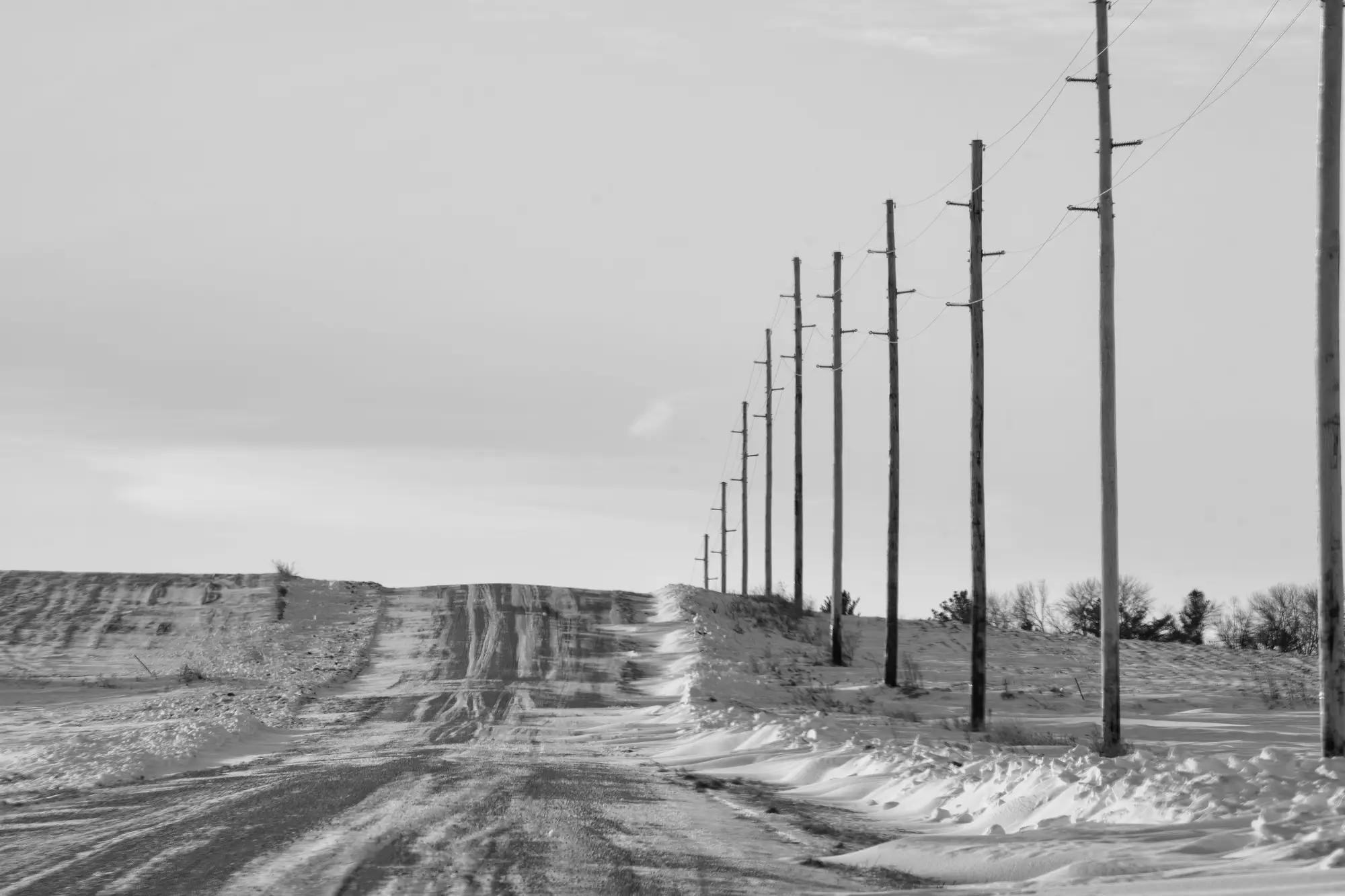
Pull up a block of sub-10cm imagery over a feeder line and the poles mostly read the same from directly overhead: a round or near-round shape, a shadow, maybe a crossarm shadow crossing it. Material classification is a different problem than pole detection, and it's worth separating the two before you build a workflow around either one.
What shows up in the imagery
At sub-10cm GSD, a wood pole and a composite (FRP) pole of the same class can look nearly identical in plan view. The cues that help are mostly about surface and geometry, not color alone, since both get coated and both weather:
- Taper. Wood poles taper visibly along their length, wider at the butt than the top. Composite poles are often manufactured with a uniform, gently tapered profile, sometimes a constant diameter for a run of the shaft. From a nadir shot this is hard to see at all; it shows up better in oblique or crewed-aircraft passes where you get some side profile.
- Surface texture. Wood grain, checking, and the vertical split lines from seasoning read as fine linear texture even at 8-10cm resolution, especially in low raking light. Composite surfaces are smoother and flatter, sometimes with a visible seam line where the mold halves meet, which you occasionally catch as a faint straight shadow line down the shaft.
- Top cap and hardware. Composite poles frequently have a distinct top cap or cover, visually different from the cut or capped top of a wood pole. This is one of the more reliable tells if your resolution and sun angle cooperate, but it's a small feature and easy to miss on a pass optimized for pole detection rather than attribute review.
- Color banding. Wood poles that have been treated show an irregular, mottled tone, darker near the ground line from soil contact and weathering. Composite poles tend toward flatter, even coloring, though gray FRP and weathered wood can land in a similar tonal range, so color by itself is not a safe call.
- Context clues. Pole class and material often correlate with install era and location, so a run of newer composite poles next to a highway crossing or a recent rebuild segment is a reasonable hint, but it's inference from your records, not something the pixel is telling you.
Each of these cues only shifts the odds, it doesn't settle the call on its own. Composite poles manufactured with a wood-grain texture finish, a real product you'll run into in the field, can defeat the texture cue entirely from the air. Crews doing field verification confirm material by knocking on the pole, checking for a manufacturer tag, or pulling a core sample. None of that is available in an orthomosaic.
Where this fits a GIS reconciliation workflow
If your register has a material attribute and you're trying to catch records where "wood" was entered but the pole was rebuilt in composite, aerial imagery alone is a weak primary source for that specific attribute. It's a good screening pass, flag the segments where visual cues suggest a mismatch, then route those to field verification, rather than trying to overwrite the material field from imagery review directly.
Where imagery earns its keep without caveats is the question underneath the material question: is there a pole where the register says there's a pole, and is there a pole where the register says there's nothing. That's a presence and location problem, and it drifts hardest over time as crews swap poles, abandon spans, or add structures ahead of a permit update. Grid Asset Inventory works that layer: poles, towers, and conductors detected from sub-10cm drone or aerial imagery, delivered as a set you reconcile against your GIS register on whatever cadence you fly, so you know what the imagery shows versus what your records claim is standing.
Material classification stays a field call. Catching the pole your register forgot about doesn't have to be.