What conflation means in GIS, and how pole detections get matched to your register
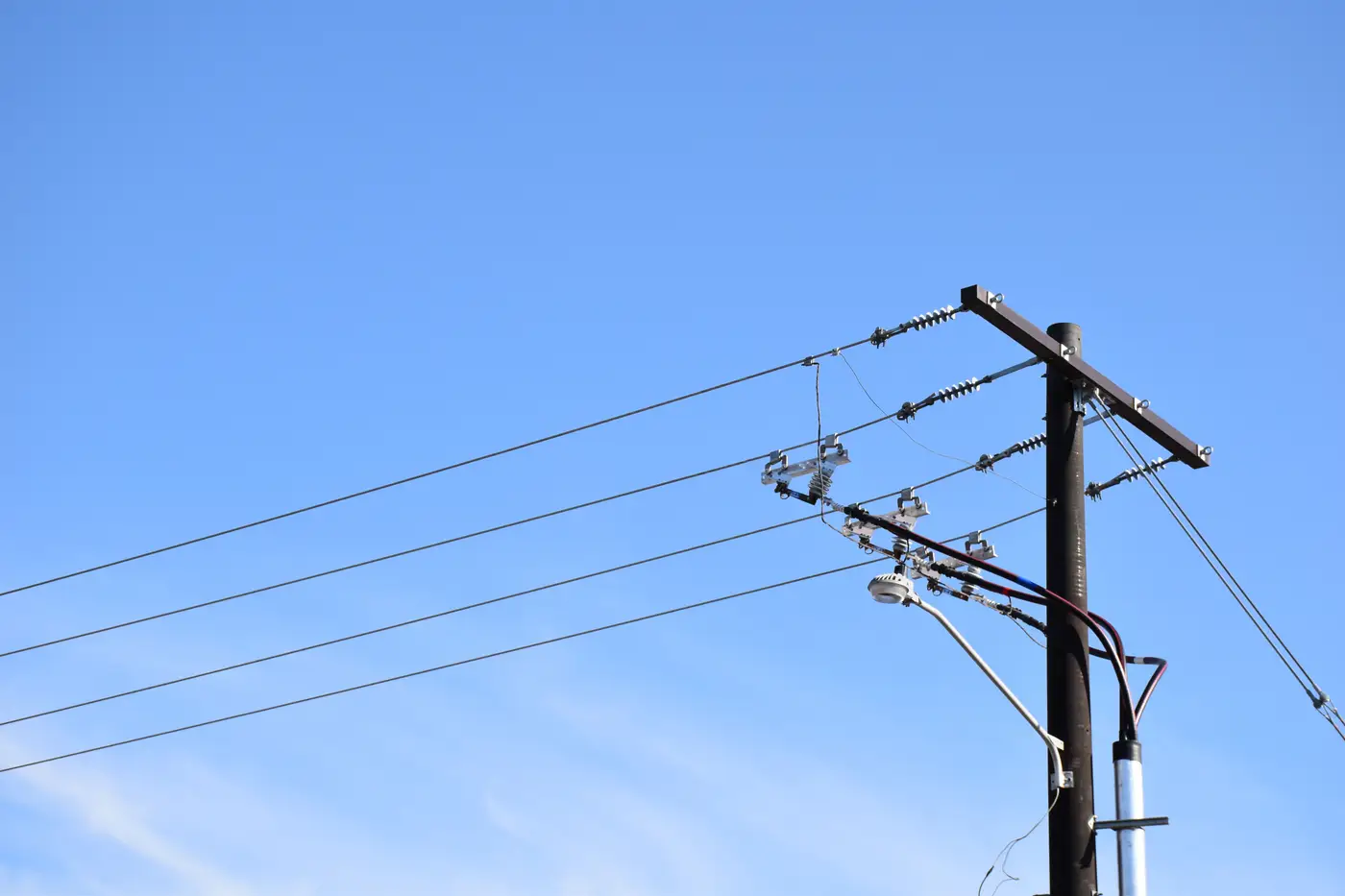
Conflation is the step everybody in GIS has done by hand at some point, usually at 11pm before a regulatory filing, without ever calling it by its proper name. It's the process of taking two datasets that describe the same real-world objects and reconciling them into one usable picture. In utility asset work, the two datasets are almost always your pole or tower register and whatever a flight, a field crew, or a vendor just handed you as a fresh set of structure locations.
The register says there are 412 poles on a circuit. The new flight detects 437 structures in roughly the same footprint. Conflation is the work of figuring out which of those 437 are the same 412, which are new, which are register entries that no longer exist on the ground, and which are just noise, a shadow, a stub pole, a guy-wire anchor that got picked up as a structure.
Why this isn't just a spatial join
A straightforward spatial join, snapping each detection to the nearest register point within some buffer, gets you most of the way there and breaks on exactly the records you care about most. GPS on a register entry from a 2009 survey can sit 8 to 15 meters off true position. A pole replaced after a storm might carry the same structure ID but sit on a new footing a few meters from the old one. Dense pole runs through a substation yard or a double-circuit corridor can have three or four candidate matches within a tight radius, and picking the wrong one silently corrupts the attribute data attached to it, ownership, install date, pole class, whatever your register tracks.
A real conflation workflow handles this with a few passes instead of one blind snap:
- Tolerance-based spatial matching first, usually a radius tied to the known positional accuracy of the register (tighter for recent GPS surveys, looser for legacy digitized data).
- Nearest-neighbor resolution where more than one register point falls inside the tolerance, often weighted by structure type or line geometry so a detection on a tangent pole doesn't get matched to a nearby dead-end structure.
- Attribute cross-checks where available, so a detection tagged as a transmission tower doesn't match against a register record for a distribution pole, even if they're close.
- Flagging, not guessing, for anything that doesn't clear a confidence threshold. A detection with no register candidate within tolerance becomes a "new structure, unverified" row. A register record with no matching detection becomes "not found in current imagery." Neither gets forced into a match it doesn't earn.
What comes out the other end
A conflation pass produces three lists: matched structures, where the detection and the register record agree within tolerance; unmatched detections, structures the imagery shows that aren't in the register, new builds, moved poles, or anything else that changed since the last survey; and unmatched register records, entries in your database that didn't show up in the current imagery, including decommissioned structures and structures the flight path missed or canopy hid.
That third list is usually the one that matters for audit and compliance work, because it's the gap between what you can defend to a regulator and what you carry on the books. The second list is the one that matters for capital planning, because it tells you where field activity happened that never made it back into GIS.
None of this requires a crew walking the line with a tablet. It requires the detections in the first place, at a resolution fine enough to tell a pole from a shadow and a tower leg from a conductor sag, and a matching tolerance built around how your register was actually surveyed rather than how you'd like it to have been surveyed. Grid Asset Inventory runs that detection and matching pass against sub-10cm imagery, so the three lists above are what you get back instead of a shapefile you still have to reconcile by eye.
If your register and your last flight have drifted apart and you need the gap documented rather than guessed at, that's the problem this is built for.