How to prioritize field verification after an annual aerial pole reconciliation
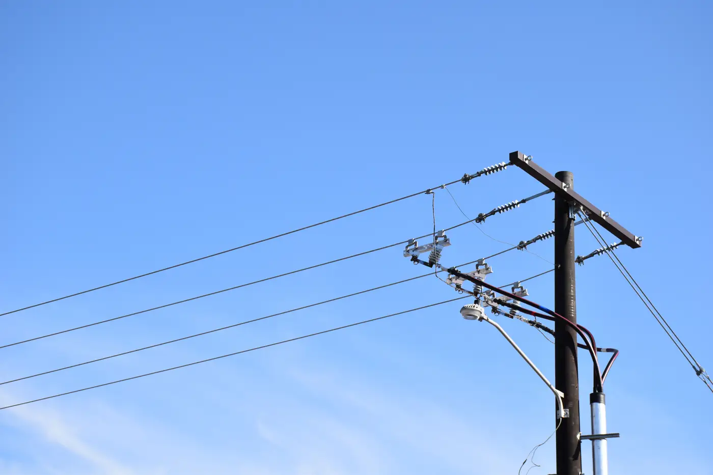
The flight's done, the detections are back, and now you've got a spreadsheet with a few hundred rows where the imagery doesn't match the register. A pole that shows up on the ground but not in GIS. A pole in GIS with nothing where it says it should be. Positions that are off by six meters, ten meters, more. The real decision is which rows go out to a crew first, because no utility sends a truck to check every discrepancy before the next storm season.
Sort by consequence before you sort by anything else
Run the discrepancy list through one filter first: what happens if this specific mismatch is wrong and nobody catches it for another year. A missing pole on a feeder that carries protection coordination data is not the same priority as a two-meter position drift on a spur that's been scheduled for rebuild anyway. Pull out anything that touches:
- Poles flagged in the detection set but absent from the register entirely, especially on circuits with recent construction or storm restoration work
- Register entries with no corresponding detection, which can mean a pole came down, was relocated, or was never field-verified when it was first entered
- Position offsets large enough that they'd put the pole on the wrong side of a right-of-way line or inside a different parcel
Everything else, attribute mismatches on pole material, height, or owner code, waits. It still needs fixing eventually, but it doesn't need a truck roll this month.
Build the list the field crew can actually use
A priority list that only makes sense to the GIS desk doesn't get worked. Hand it to the crew the way they'd read a work order: by circuit, then by the kind of fieldwork it calls for.
Group entries into three buckets. First, verify-and-correct: a pole exists but the attributes are wrong, which a tech can confirm from the truck without climbing anything. Second, verify-and-investigate: something's missing, duplicated, or badly out of position, and someone needs to walk the span to figure out why. Third, flag-for-engineering: a discrepancy that touches clearance, loading, or a permit record and needs a different department before anyone updates GIS.
Sequence the buckets by circuit criticality, not by discrepancy count. A circuit with twelve minor mismatches and no safety flags can sit behind a circuit with three unresolved missing-pole rows if that second circuit feeds a hospital or a substation tie.
What a reasonable follow-up window looks like
There's no universal number here, because it depends on crew availability and how the reconciliation was scoped in the first place. What tends to work: safety and connectivity flags get scheduled within the current work cycle, position and existence mismatches get worked over the following quarter as crews pass through those circuits anyway, and attribute-only cleanup gets batched into whatever maintenance windows already exist. Treating all three buckets as equally urgent is how a reconciliation project stalls out at 40% complete and never gets finished.
Keep the loop closed
Every corrected row needs to go back into the register with a timestamp and, ideally, a note on how it was confirmed: field visit, desk review against the imagery, or engineering sign-off. Skip this step and next year's reconciliation can't tell the difference between a discrepancy that's genuinely new and one that was already fixed and never recorded. The whole point of running this annually is comparing year over year, and that only works if the register reflects what actually got verified.
This triage needs a clean starting point: a detection set pulled from the year's flight and matched against the register, row by row, so you know exactly where imagery and records disagree before you decide what to send a crew after. Grid Asset Inventory builds that comparison from your own aerial coverage on whatever cadence you fly.
If your reconciliation list is sitting in a spreadsheet with no clear order, that's the next thing worth fixing.