What is attribute completeness in a utility asset register?
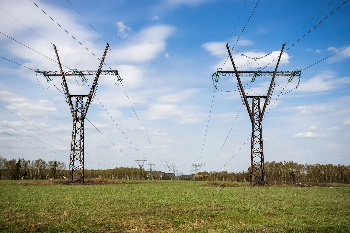
Attribute completeness is a specific, measurable thing: for every pole, tower, or conductor record in your asset register, how many of the required fields are filled in with a real value, versus left blank, defaulted, or copied over from a template during a bulk import.
It's a different question from "does this asset exist" or "is this point in the right place." A pole record can sit exactly where the pole stands in the field and still be incomplete if the material field says nothing, the install date is blank, or the height was never recorded because the crew that set it didn't have time to fill out the back half of the form. Location accuracy tells you the point is real. Attribute completeness tells you whether the record behind that point can actually answer a question.
Why attribute fields go blank in the first place
Most registers don't start out incomplete. They get that way.
A construction crew sets a structure, records the location, and moves on before the full attribute set gets populated, because the inspection that was supposed to catch the gap got rescheduled and then forgotten. A legacy database gets migrated into a new GIS platform and half the custom fields don't map cleanly, so they come through as nulls. A contractor doing pole replacements enters height and material because those are required to close the work order, but skips condition rating and last-inspection date because nothing in the workflow forces them to.
None of this is anyone being careless. It's what happens to a dataset that's touched by a dozen different people over fifteen years, each one filling in only what their particular task required that day.
What to check when you're measuring it
A reasonable completeness check runs field by field, asset class by asset class:
- Pull the required attribute set for poles: material, height, class, install date, owner, voltage where applicable.
- Count how many records hold a real value versus a null, a zero, or a placeholder like "unknown" or "TBD."
- Do the same for towers and for conductor spans, since each asset class typically carries a different attribute schema.
- Flag defaults that look like real data but aren't. A height field full of "40" across thousands of records that were never individually measured is a completeness problem wearing a data quality costume.
Run that math and the number usually comes in worse than people expect. Registers that look fine on a map, every point roughly where it should be, often have attribute fill rates in the 60-80% range once you count field by field instead of trusting that a populated database means a populated record.
Why it matters beyond tidiness
Incomplete attributes aren't just an audit inconvenience. A missing material field means a crew doing emergency restoration can't tell from the record whether they're dealing with wood, steel, or concrete before they roll a truck. A blank voltage class slows down a load study that should take an afternoon. Missing install dates make it hard to prioritize inspection cycles by asset age, which is the whole point of having an age field. Regulatory reporting that asks for condition or material breakdowns by circuit becomes a manual lookup exercise instead of a query.
Flying a drone won't fix any of that. Attribute completeness is a records problem, usually solved by a data governance pass, a required-field policy at the point of entry, or a targeted field verification effort on the gaps the audit turns up.
A related but different gap: does the register match what's standing out there
Completeness tells you what's missing inside the records you have. It doesn't tell you whether the register itself has drifted from field reality: structures that were decommissioned but never removed from the database, new poles set during a storm rebuild that never got added, towers that moved during a reroute.
That's a separate reconciliation, and it's the one Grid Asset Inventory is built around: detecting poles, towers, and conductors from sub-10cm aerial imagery and handing back a list you can check against your GIS register, on whatever cadence you fly, so you know where the register and the field disagree before an outage crew finds out for you.
Clean up what's in the records, then check what's standing against what the register claims is there.