How to reconcile a work order closeout against post-construction imagery
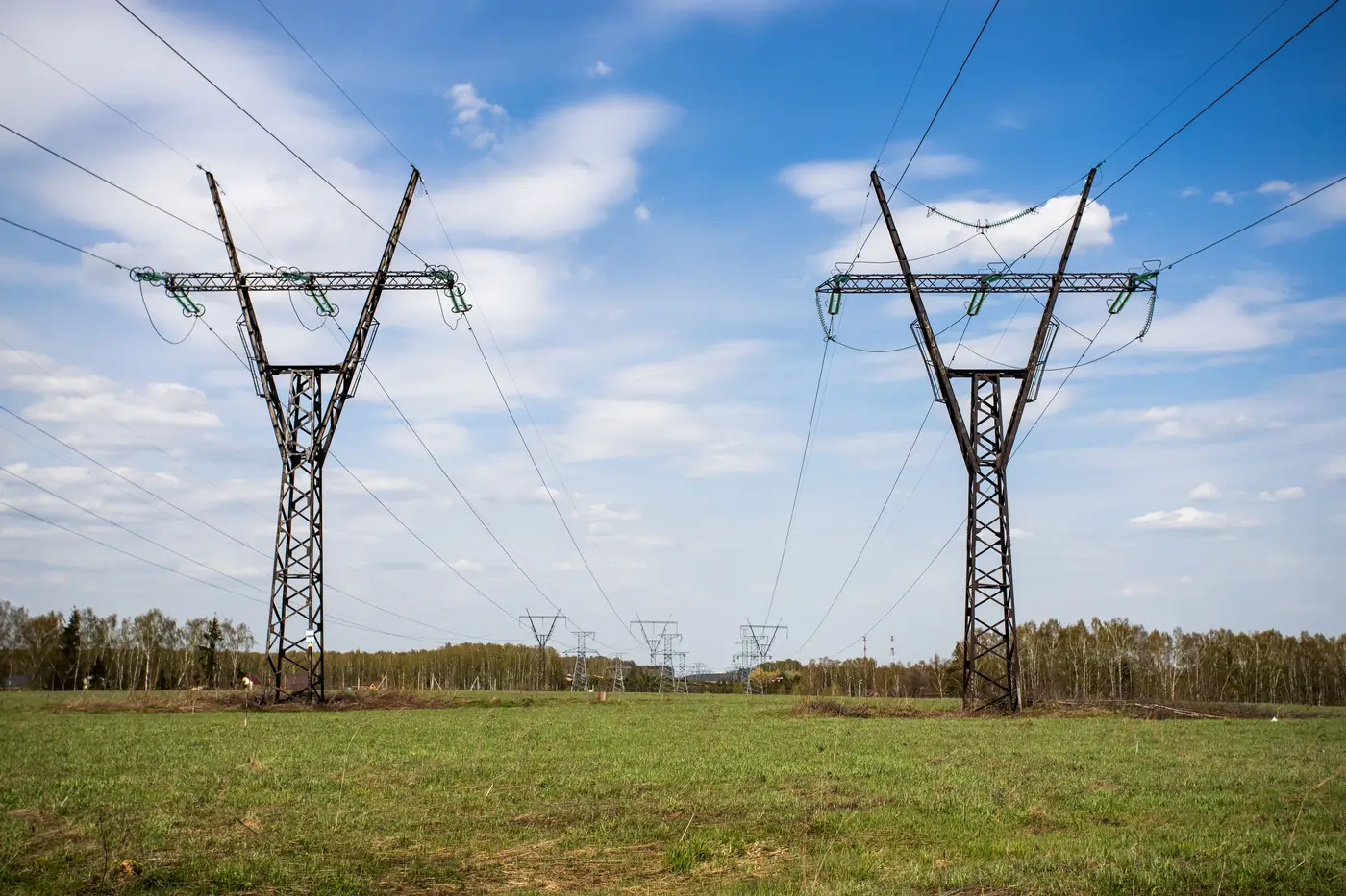
When a crew closes out a work order, somebody has to decide whether the register now matches what's standing on the pole line. That decision usually happens on paper, trusting the foreman's notes and the as-built sketch, long before anyone flies the circuit again. The gap between what gets marked "complete" and what the imagery eventually shows is where a GIS asset register quietly drifts from field reality.
Why work order closeout alone doesn't verify the as-built
A closed work order tells you a crew believes the job is done. It doesn't tell you whether the new crossarm got tagged in GIS with the right pole number, whether a replaced pole kept its original GPS stake or drifted ten feet during the pour, or whether a retired structure actually came down instead of just losing its work order status. Field crews are good at construction. They're not always good at updating attribute tables mid storm season. The paperwork closes the job. It doesn't close the data gap.
That's the as-built vs as-operated problem in miniature. The as-built drawing shows what the design called for and what the crew reports building. The as-operated record, the one your GIS carries into outage management and vegetation contracts, only matches that as-built if someone goes back and checks.
A practical sequence for reconciling closeout against imagery
Reconciling work order closeout against post-construction aerial imagery works best as a repeatable sequence, run each time new imagery comes in rather than saved up for a single audit pass at year end.
-
Pull the closed work order list for the imagery's footprint first. Before comparing anything, filter down to work orders closed since your last flight over that feeder or line section. Comparing the whole register against a single flight wastes effort on structures nobody touched.
-
Match imagery-detected structures to the GIS record by pole or structure ID, not by rough location. GPS drift during construction means a pole can sit fifteen or twenty feet from its original survey point and still be the same structure. ID-based matching catches that. Proximity-based matching flags it as a false new pole.
-
Flag three categories, not two. It's tempting to sort into "matches" and "doesn't match," but a third bucket, present in imagery but missing or unlinked in GIS, catches poles that got built and never entered the system at all. That's a different failure than a wrong attribute, and it needs a different fix.
-
Route conductor and crossarm mismatches back to the crew's original work order. The crew that built it usually remembers the deviation and confirms it in minutes, faster than reopening a field investigation months later through a generic data-cleanup queue.
-
Re-fly on a cadence that matches your construction volume, not a fixed calendar date picked for convenience. A circuit with heavy storm-hardening work needs a tighter imagery cycle than one that hasn't seen a work order in two years.
What post-construction fly verification changes
Fly verification adds a second checkpoint after closeout, confirming what's physically standing instead of relying on the crew's notes alone. A pole register that only gets corrected when someone notices a problem in the field, usually during an outage, is a register that's always one storm behind. Catching the mismatch between what closeout says and what the imagery shows, while the job is still fresh enough for the crew to remember it, costs a lot less than untangling it during a reliability audit three years out.
Most utilities don't have the headcount to send a GIS tech out to every newly closed work order to confirm pole position, crossarm count, and conductor type by eye. That's the gap aerial-derived detection fills: a structure-by-structure list pulled straight from the imagery, ready to sit next to the register and show exactly where they agree and where they don't. Grid Asset Inventory builds that comparison set from sub-10cm imagery on whatever flight cadence you already run, so reconciling closeout against the as-built becomes a lookup instead of a field trip.
If your closeout backlog has grown faster than your field audits can keep up, your next flight is worth a second look before you schedule another one.